-


 is an excellent choice
for better services and
data quality outcomes! -
 we are able to
surveying & modeling!
Geosciences Desktop Study
-

GPR survey activities at the TMII were carried out to map existing utilities in their area. This survey activity requires
a GPR antenna of 450 MHz, so that the depth and the data resolution obtained can be more optimal at less than 6-meter
depth. Underground utilities are indicated by hyperbolic shape in radargram. A similar pattern in other radargram confirms
the existing underground utilities.
-

GPR survey activities at the Soetta Airport were carried out to confirm the injected material into the concrete road. A High-
resolution GPR antenna of 600 MHz was utilized to scan the area to get a depth penetration of shallower than 4 meters.
Different materials are indicated by anomalous patterns in radargram. A similar pattern in other radargrams confirms the
existing different injected material into concrete.
-

A Very high-resolution GPR scanning activity at one of the UKSW buildings was carried out to assess the building wall crack.
A GPR antenna of 1600 MHz was utilized to scan the area to get a depth penetration of shallower than 60 centimeters. A
crack is indicated by anomalous patterns in the radargram. A similar pattern in other radargrams confirms the existing crack
inside the wall.
-

A Seismic Downhole Test measures the shear wave velocity of the soil or rock layers. The source at the surface generates a
seismic wave that travels through the ground and is detected by the receiver which is deployed at a borehole at different
depths. The shear wave velocity is an indicator of the stiffness and strength of the subsurface material. The data is used
as a consideration for an engineer to build a construction
-

Topographical Surveys that produce detailed surface contours with good precision and accuracy are needed as the main
input for effective and efficient architectural and engineering designs. By using satellite technology and sophisticated GPS
equipment and experts in their fields, the best topographic survey results will be realized.
-

Electric resistivity as a physical property of soil layers or rock layers is a reference in explaining the characteristics of these
layers by injecting electric current into the earth's body and measuring the electric potential voltage that is formed. Electrical
resistivity is a measure of the ability of rock layers to conduct electric current which is very necessary for the design of a
surface facility which is strongly influenced by the earth's electrical activity.
-

The Earth's magnetic properties can be utilized for regional geological studies, mineral exploration, geothermal exploration,
as well as various investigative activities related to buried objects based on the element iron (Fe) using the Geomagnetic
method. The combination of topographical information, the results of surface geological mapping, and data from the
Geomagnetic Survey can produce the desired subsurface model to determine the steps of exploration activities.
-

Gravity surveys can provide useful information for geothermal exploration, such as the depth and geometry of basins, the
location and orientation of faults, and the presence of magma chambers. Gravity surveys are relatively inexpensive, non-
invasive, and can cover large areas with high resolution, but has some limitations, such as the non-uniqueness of gravity
inversion solutions, the need for accurate terrain corrections, and the influence of regional gravity anomalies.
-

Gravity Survey is applied to get an overview of the earth's subsurface model based on the distribution of rock density values
that have a certain geometry so that it is good to do in the early stages of Exploration activities. Utilizing a gravity meter
instrument that is capable of accurately measuring the magnitude of the gravitational field, a reliable geophysicist can
produce a model of an oil and gas basin, a model of a geothermal system, and other earth exploration.
-
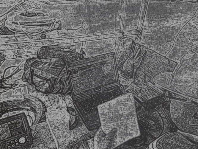
Oceanographic survey is a scientific method for collecting data and information about the oceans. Oceanographers use
special equipment and techniques to measure and study the physical, chemical, biological and geological properties of the
oceans, such as temperature, salinity, depth, ocean currents and the biodiversity in them. The results of oceanographic
surveys can be used for sustainable management and marine conservation and inform marine resource management policies
geosciences Survey and Services to solve the industry's problems and challenges
124
Projects
14
Years In Business
71
Clients
3600
+
Cups of Coffee